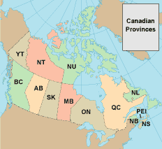
Canada Maps
Nova Scotia Pictures
Canada Maps
•
NS
•
NS Map
• NS Photos
Alberta
British Columbia
Manitoba
New Brunswick
Newfoundland and Labrador
Northwest Territories
Nova Scotia
Nunavut
Ontario
Prince Edward Island
Quebec
Saskatchewan
Yukon
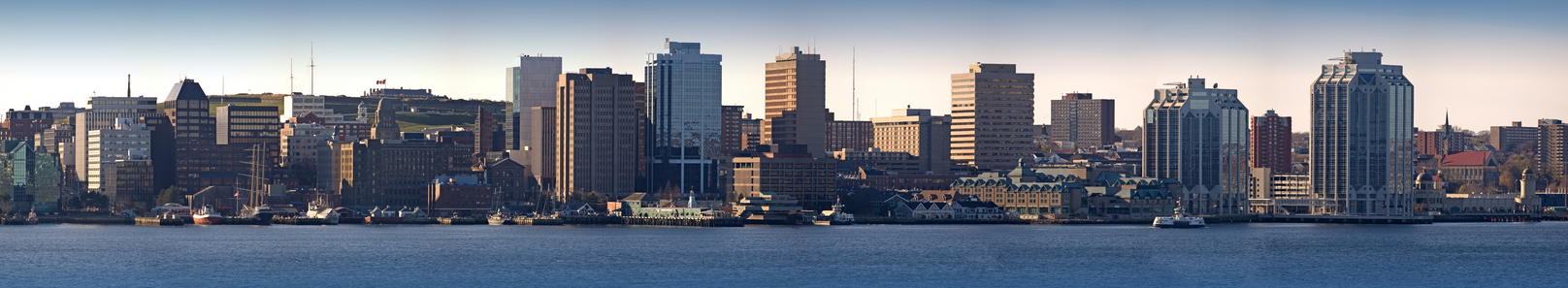
The Halifax skyline as viewed from the Dartmouth side of Halifax Harbour.
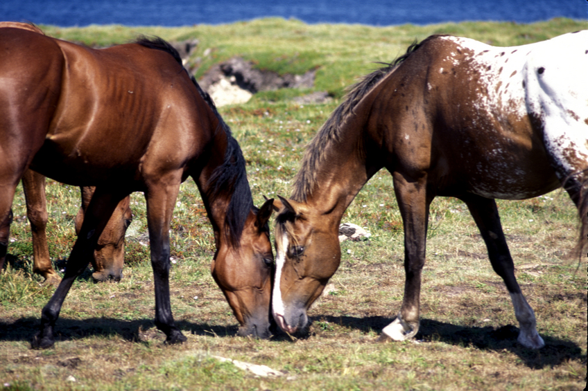
Two horses touch noses at Meat Cove, Cape Breton Island, Nova Scotia.
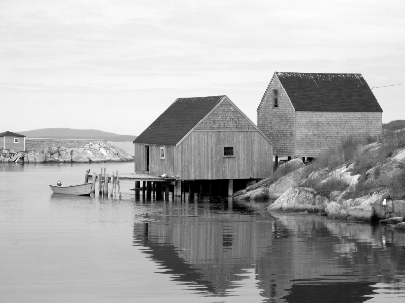
Beautiful black and white photograph of old fishing shacks. Taken at Peggy's Cove, Nova Scotia.
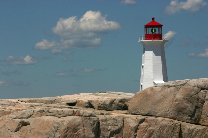
Peggy's Point Lighthouse in Peggy's Cove, Nova Scotia.
Lighthouse at Peggy's Cove, Nova Scotia.
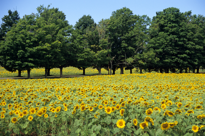
A field of sunflowers with a border of trees in Nova Scotia, Canada.
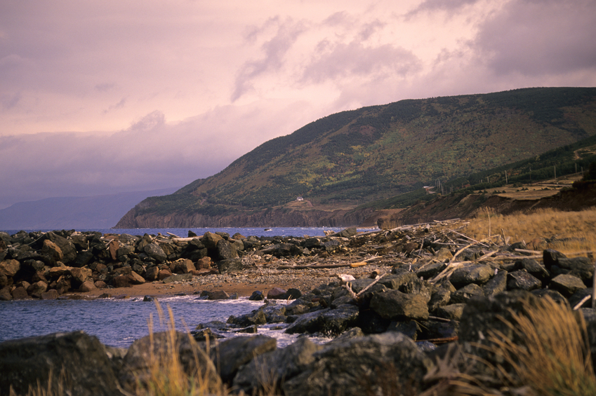
Meat Cove, Nova Scotia is the northernmost settlement of Cape Breton Island. A solitary house sits on the rugged mountain coast at sunset.
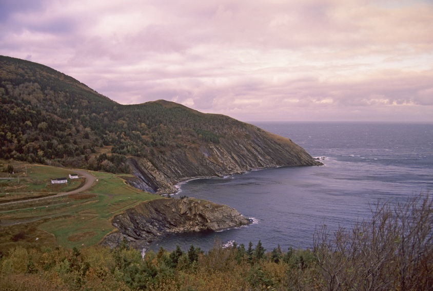
The sun sets over mountains of the Cape Breton Highlands National Park in Nova Scotia, Canada.
Historic town clock in Halifax, Nova Scotia.
Copyright © 2006-2026 Canada-Maps.org.
All rights reserved.
Canada Maps - Nova Scotia Photographs